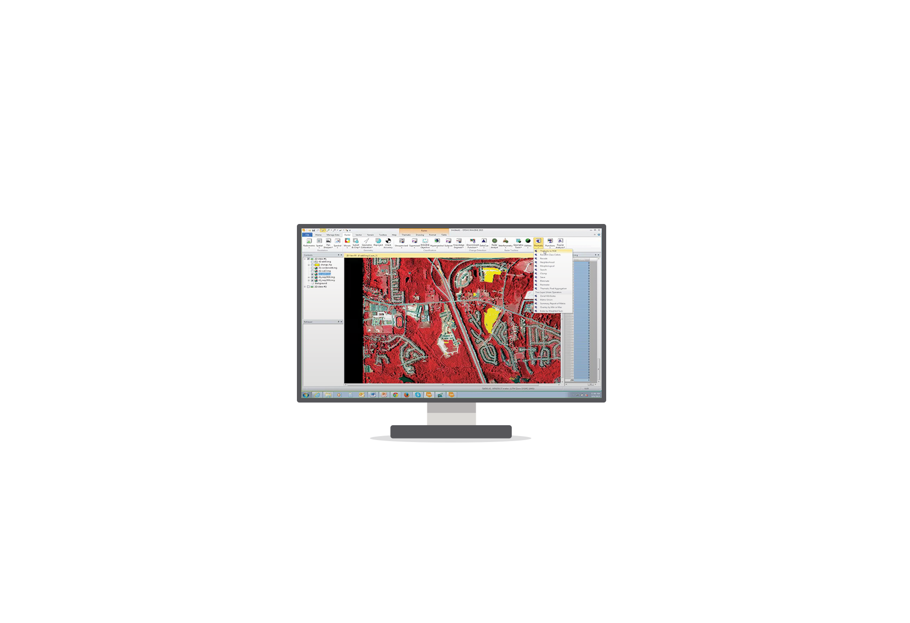
- Remote Sensing – Processing, analysing and presenting satellite, aerial and UAV data
ERDAS IMAGINE, IMAGINE UAV, ATCOR, Hexagon Smart M.App, GeoApp.UAS, Sentinel Made Simple
- GIS – Collect, edit, organize, analyze and present spatial data
GeoMedia, GeoMedia Smart Client
- Photogrammetry – Orthomosaics, digital elevation models, point clouds, 3D
IMAGINE UAV, IMAGINE Photogrammetry, Stereo Analyst, GeoApp.UAS
- Data Management – Catalogue, manage and distribute spatial data
ERDAS APOLLO, ECW Products, Sentinel Made Simple
- WebGIS – Collect and edit spatial data in a web environment
GeoMedia Smart Client
Geospatial Power Portfolio

Desktop
ERDAS IMAGINE
IMAGINE UAV
ATCOR
GeoMedia
IMAGINE Photogrammetry
Stereo Analyst
IMAGINE UAV
ATCOR
GeoMedia
IMAGINE Photogrammetry
Stereo Analyst
Server
ERDAS APOLLO
ECW Products (also Desktop)
ECW Products (also Desktop)
Mobile Devices
GeoMedia Smart Client
Cloud
Hexagon Smart M.Apps
GeoApp.UAS
GeoApp.UAS
Desktop
Sentinel Made Simple
Cloud
GeoApp.UAS
Desktop
GEOcompressor
Other products

